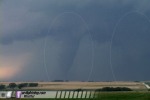
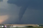
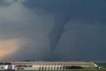
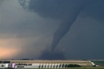
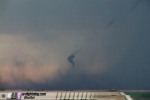
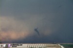
STOCKTON, KS - Several supercells developed from Texas to Nebraska on Thursday, June 9, producing numerous tornadoes across several states. In northern Kansas, a complex of supercells generated a large number of tornadoes, at least two of which were significant. The following is a log of the day's chase. Photos may be enlarged by clicking on the thumbnail image. (The commentary on the early events of this chase is rather long, so if you're looking to go straight for the photos, scroll down one or two pages. But if you're interested in reading about our tortuous and harrowing journey through this storm, then continue on!) After our Tuesday, June 7 South Dakota chase, we had opted not to make the 9-hour drive to Wednesday's setup in the Kansas City-Topeka area. Instead, we took our time dropping south, anticipating a decent setup in southern Nebraska on Thursday. We started our day on Thursday the 9th in Ogallala, Nebraska after resting up the day before. We initially liked the area in southwestern Nebraska, but extensive cloud cover and lower instability in this region made us decide to head further south into Kansas. We made data stops at the Atwood library and at Oberlin, Kansas, the latter town where we stopped for lunch at Pizza Hut. As we ate, we noticed convection already beginning to initiate outside. We finished our lunch quicky and went back to downtown Oberlin to get the latest data updates from a WIFI hotspot. A cell overhead was already producing lightning flashes and thunder, so we decided to head west a little on US 36 to stop and watch it to see if it would develop further. Our first Oberlin storm began to look ragged, so we turned our attention to another storm that had gone up just to its southwest, directly to our west over US 36. This storm developed a respectable rain-free base, but could not get organized. By this time, we noticed on radar that a large storm to our south was rapidly developing east of Oakley, near I-70. We could see this storm's updraft tower from our location, and it looked very well-defined and healthy. While we were closer to a boundary intersection, I was concerned about the Oberlin storms heading for the cloud-covered, lower-instability air to our north, while the Oakley cell was headed for a much better environment that had seen much more sunshine. Keeping a cautious watch behind us on the Oberlin storms, we plotted a course for the Oakley cell and started heading south. Our problem was that we were not coming in on a favorable intercept course for the southern storm, which was now clearly a large supercell on radar and moving northeast into Graham County. We had two choices: one was to head east to Edmond and drop south on Highway 283, hopefully beating the mesocyclone to Hill City, or following immediately behind the meso on US 24 and and waiting for the core to cross in front of us. But while we mulled our choices, our storm became tornado-warned and turned hard to the right, now moving due east. We knew we had to get to the updraft ASAP! Our Edmond-Hill City route would not get us ahead of the storm in time, so we opted to drop south to US 24 and move in behind the storm west of Hill City. We made it to Hoxie and started charging east on 24 at the storm. Now we had another problem - it was evident now due to the persistent right turn that the meso was not going to cross US 24 for quite some time, so waiting for the core to pass over the road was not going to work. We'd likely miss the entire show if we did this. Our choices now were to either punch through the storm to Hill City, or try to navigate to the south and east on dirt roads southwest of Hill City. At Tasco we made our choice - unpaved roads southbound. Not good, but the lesser of two evils. I didn't want to risk extensive hail damage to my new car by core punching. It had been raining at Tasco, so I thought that if the dirt roads were going to be bad, they'd be bad as soon as we turned off of the pavement. As we started down the dirt road heading south, it was in good shape despite being wet, so I was confident we'd be able to continue on this course. But about two miles down the road, our good dirt slowly began to turn to slimy mud. Maintaining control became harder and harder, traction was dropping off rapidly. Meanwhile, we now had a low-contrast view of the updraft base and large wall cloud to the east.
 We saw another chaser ahead of us fishtail and slide sideways, then stop. Not a good sign. After continuing another half a mile and almost getting bogged down and stuck, we turned around and retreated back toward the highway. We passed the stuck storm chasers and radioed for help - there was no way we could stop or lose our momentum, or else we'd surely suffer the same fate. After a harrowing two-mile, fishtailing ride back to US 24, we had only one choice left - punch through or miss the rest of the day's action. As we headed east at the storm, we looked southeast to see that a tornado was on the ground! This was the beginning of the Hill City tornado:
 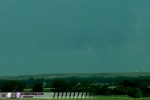 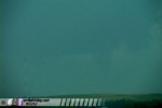 Our view of tornado #1 was very low contrast, and we quickly lost sight of it altogether as we approached the core. Radar showed that the hook region of the storm was about 5 to 10 miles south of US 24, so I thought the largest hail would stay south of the road. It was only due to this fact, and that we had radar data (WxWorx), that I decided to grit my teeth and punch through the beast. We took a deep breath and entered the core of the storm, with heavy rain slowly enveloping us until we couldn't see any of our surroundings. Hail followed shortly thereafter. I was set to turn around at the first baseball that bounced off the road (and hopefully not off of my car). Hail increased to quarter-sized, but still sporadic enough to not get too worried about. All of the cars coming in the other direction flashed their lights at us, warning us of the tornado that they surely saw to their south on the other side of the storm. As we got within a mile or so of Hill City, I could start seeing clear skies faintly visible ahead of us. We were almost through it! However, larger hail began bouncing off the road as we entered town. Golfballs at first, then the dreaded baseball or two bouncing off of the pavement and rolling off to the side. Several golfballs smacked the windshield, hood and roof of the car, but the glass held. I did take a few small dents on the hood, roof, doors and quarter panels. To my knowledge, we were spared impacts from anything larger than a golfball. As we drove through downtown Hill City, the tornado, which we knew was directly to our south, knocked out power to part of the town - and the lights went off!
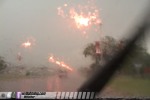 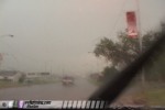 Almost immediately, we heard chatter on Kurt's ham radio about storm chasers describing a large wedge tornado just to the south of town. We could see the mass of rain where the tornado surely was hidden inside:
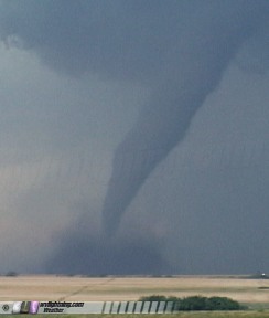
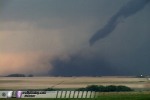
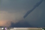
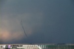
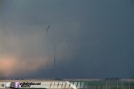
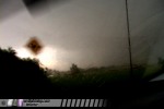 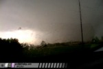 We knew we needed to get east out of the precip to get a clear view of the tornado. Though we could see clearing to our east, our core seemed to not want to let up. Heavy rain and the occasional loud bang from a sizeable hailstone hitting the car continued well east of Hill City. Two or three miles east of Hill City, we could not believe our eyes as a construction crew had closed off one lane of the two-lane road for paving, and were blocking eastbound traffic! We repeatedly urged them to open the road and let the growing traffic jam of eastbound cars through, and for them to take shelter themselves - but they hesitated for what seemed like 10 minutes. I was just about ready to drive around the barricade when they finally let everyone through. There were not only storm chasers in the stopped traffic, but motorists and residents of Hill City trying to flee to the east. We had a confirmed large tornado to our southwest heading in our direction. We had a new, rapidly rotating wall cloud even closer to our southwest. We had a core of large hail just behind us, about to overtake us again. Frequent cloud-to-ground lightning was striking very close. It was surprising that the highway workers were not aware of the grave situation about to overtake them and motorists on the road. After making it through the contruction zone, Kurt and Nick spotted a brief tornado under the new wall cloud, and we stopped briefly to film. Since I was driving, I missed seeing or filming this tornado. The new wall cloud was getting rain-wrapped and disorganized, so we decided to keep going to Stockton and drop south on Highway 183. Tornado sirens sounded as we passed through downtown Stockton. South of Stockton, we could see a new updraft base to our west, so we turned west on gravel roads to get closer. About a mile or so from highway 183, we spotted a rain-wrapped stovepipe tornado a few miles to the west, and stopped quickly to film.
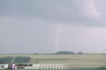 Meanwhile, a second truncated cone tornado developed just to the right of the first tornado, and for over five minutes, we had two large tornadoes on the ground simultaneously in our view!
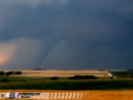 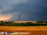 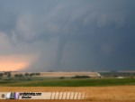
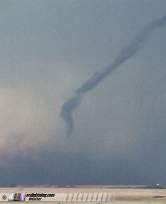
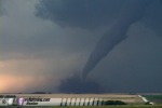
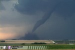
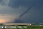
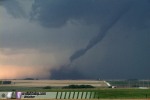
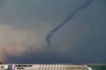
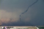
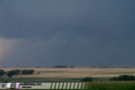 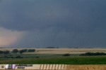 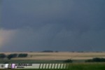 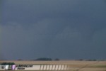 The first tornado gradually emerged from the rain, becoming highly visible and very photogenic as it moved almost directly at us. The vortex slowly became tilted at a 45-degree angle, then entered a very spectacular rope-out phase as it dissipated.
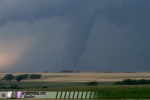 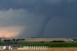 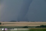 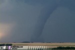
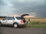
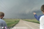
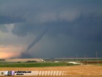 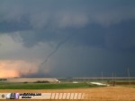  One of the nice things about a long-lasting, photogenic tornado is that you have time to get a few candid shots in. Here are a few digital photos of the tornado with Kurt Hulst, Nick Grillo and me along with the chase vehicle. Yes, being on the road for days on end leaves little time for shaving!
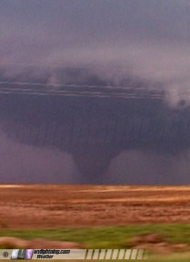
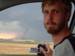 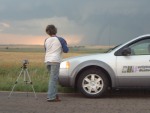 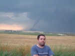  As the first tornado (tornado #2) dissipated, the second one (tornado #3) quickly intensified as it moved to the northeast toward Stockton.
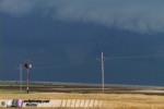 We got back to Highway 183 and moved north to get closer.
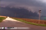 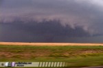 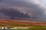 When we caught up to the tornado, we turned west on gravel roads to get closer. We drove straight toward the tornado as lightning struck in front of it, an amazing sight:
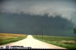 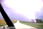 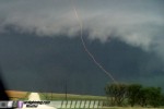 We had a road that would have led us right up to the tornado, but we could see heavy rain quickly wrapping around from the southwest. We knew that the rain would soon overtake us and block our view of the vortex, so we stopped to film once again while we could.
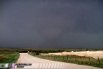 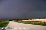 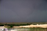 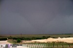
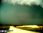 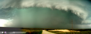 The rain quickly overtook us, and we completely lost sight of the tornado to the northwest. It had weakened some, but was still very much on the ground. I never thought I'd leave a tornado on the ground, but that's what we did! We could see another tornado-warned supercell in Trego County to the southwest that looked good on radar. It would be an easy intercept, so we left the rain-wrapped Stockton tornado and headed south for Trego County. You know it's a good storm chase day when you're leaving a tornado, still on the ground in front of you, to head for another storm! We dropped south to Plainville, then went west on 18 to intercept the Trego County storm. Another small LP-like storm to the distant south was creating an interesting sight as it punched through the anvil of the Trego storm:
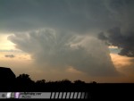 After stair-stepping south and west, we caught sight of the updraft base of the storm, with a tornado already in progress underneath! Contrast was poor from our location, but the funnel was clearly visible:
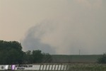
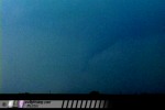 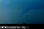  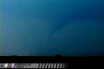 As the Trego County tornado (tornado #4) dissipated, a huge dirt plume rose up to the southwest due to strong RFD winds:
 Meanwhile, a new meso and wall cloud was taking shape two miles to the west. We moved toward it, setting up less than 1/4 mile away from the circulation.
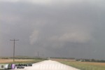  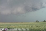 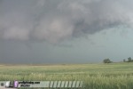 Rising motion was very rapid with this feature, but no clear circulation center was evident. We moved east with the wall cloud, stopping to film. Just as we set up our cameras again, a small tornado spun up under the wall cloud, visible as a dusty white vortex over the treeline:
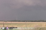 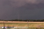 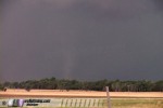 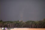 After tornado #5 faded, we stayed with this circulation for the next 30 minutes, but it appeared that the day's activity was winding down. One more funnel to the north of Hays was the last rotating feature we spotted:
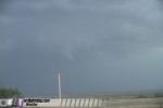 We headed to Hays to call it a night, and had a celebratory dinner with a large group of storm chasers. Outside the restaurant, a spectacular display of mammatus from our storms filled the sky:
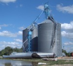
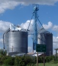
   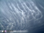 Storms and rain continued throughout the night, but no further photo opportunities presented themselves. That was just fine with us, as the day's catches were more than enough to make for one of the best storm chase days of the season. Tomorrow's target would be way down in Texas and Oklahoma, so we needed a good night's rest for a long drive tomorrow. SIDEBAR: It turned out that I managed to get before-and-after shots of the grain silos hit by the tornado on June 9 in Stockton. The tornado that we left behind (tornado #3 shown above) went on to cause major damage in the town of Stockton. We passed through town southbound about 25-30 minutes before the tornado did. I had my camera on recording the sound of the tornado sirens as we drove, and inadvertently got some partially obstructed views of the grain silos next to the road by the railroad crossing:
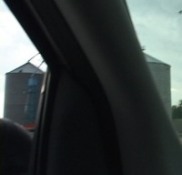 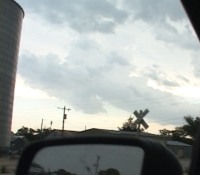 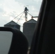 A few days later, on the 11th, I happened to be driving back through Stockton to find that one of the silos had collapsed and the others had been damaged by the tornado (click thumbnails to enlarge):
  NEXT EVENT: Disorganized storms and flooding in Oklahoma panhandle Back to Storm Chasing Expedition 2005 Index
|
||||||
Web Site Design and Internet Marketing by CIS Internet


