
|
||||||||||||||||||||||||||||||||||||
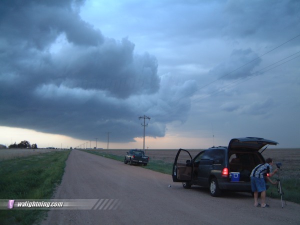
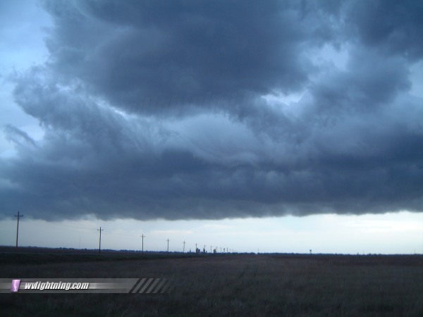
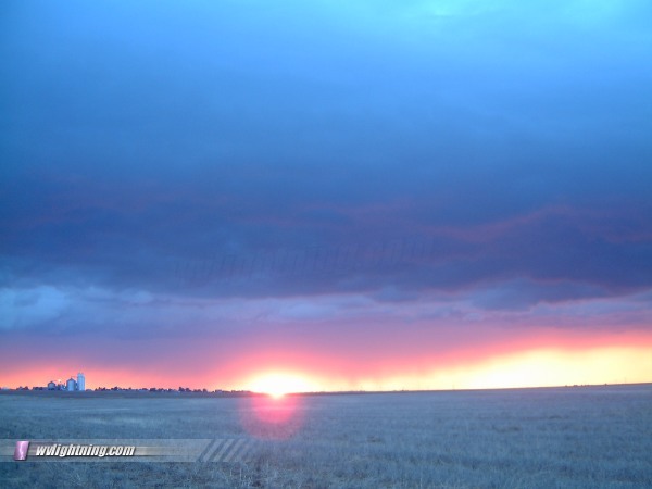
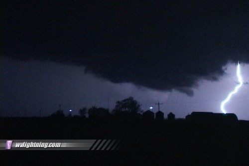
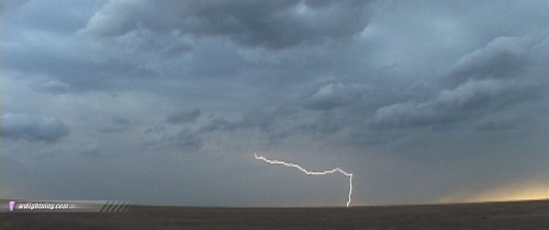
SCOTT CITY, KS - After a brief hiatus, severe storms fired on the Plains once again on May 20, starting off a marathon period of consecutive tornado days. The following is a journal of the day's chase. Times (CDT) are approximate. Photos can be enlarged by clicking on each thumbnail image. Fabian Guerra, Pete McConnell, Damon Shaw and I left Omaha at 9AM and headed for northeastern Colorado, arriving in Burlington, CO by 3:30PM MDT. After checking data at the Burlington library, we saw that we had two choices - go for the cells already firing in SE CO or stay in the Denver area and wait for new initiation in a better environment. After an hour of nothing happening in Denver, we sprang south to catch the cells moving through Lamar. We caught up to the storms east of Eads, CO and followed them across the state line to Scott City, KS. We knew that these storms were mostly 'scenic photo' material, with little chance of anything becoming severe, let alone tornadic. As the storms weakened after crossing the Kansas line, we chased many small gustnadoes under the shelf cloud, one of which was spinning a couple hundred feet off of the road. We drove through blowing dust on a few occasions. We stopped and filmed some shelf cloud/lightning/sunset/rain curtain scenes west of Scott City as the cells continued to weaken:
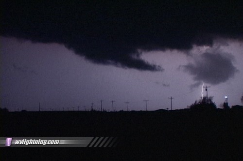
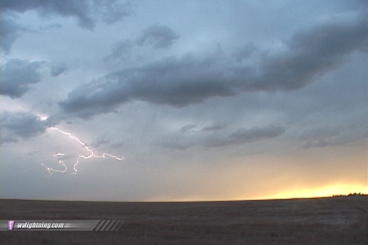    After dusk, the storms rapidly re-intensified and several severe warnings were issued. We stopped just northeast of Scott City and watched what appeared to be wall clouds and funnels backlit by lightning. We hesitated on reporting these, as the winds were obviously westerly, cold outflow from the storms. WxWorx was showing many 'rotation signatures' in these areas, but they were all along the front edge of the line. Although they likely weren't rotating, they were still impressive, and kept making us look twice just to make sure they weren't what they appeared to be:
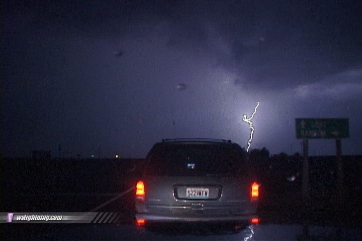
  I recorded a gust of 34 mph as the cells finally passed overhead:
 We drove on to Colby, Kansas in preparation for the next day's chase in Nebraska. NEXT EVENT: Back to Nebraska for a tornado on May 21
GO: Home | Storm Chase Logs | Photography | Extreme Weather Library | Stock Footage | Blog
Featured Weather Library Article:
|
||||||||||||||||||||||||||||||||||||


Web Site Design and Internet Marketing by CIS Internet