 November lightning chase through Indiana and Ohio: November 8, 2005 November lightning chase through Indiana and Ohio: November 8, 2005
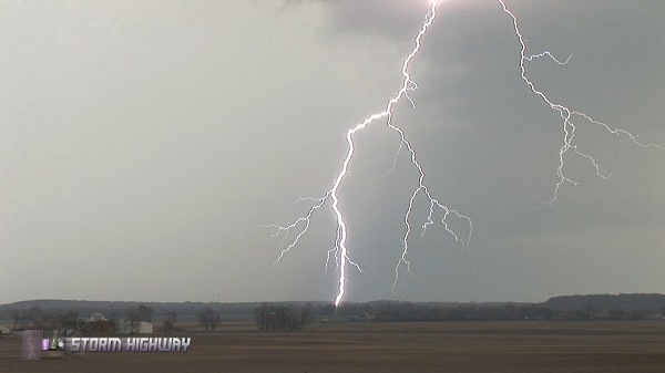
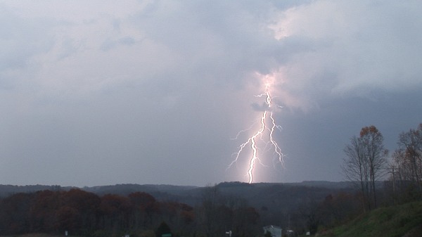
ABOVE: Lightning near Chillicothe, Ohio.
CHILLICOTHE, OH - I had just purchased a brand-new high-definition video camera in late October, and was determined to start building a library of HD weather footage by next year. Since it was already fall, I figured I would start with things like fog, winter storms and possibly flooding. I didn't expect that one of my first HD weather subjects would be lightning, but that's how November 2005 would go. This was by far the most active Novembers for storms that I had experienced, as I would end up getting some close lightning in Charleston later this same evening, then another round of spectacular lightning in Indiana during a chase on the 15th.
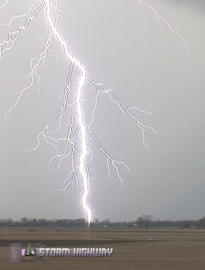
On the 7th of November, I drove to Louisville, Kentucky after sunset for the first of a three-day storm event. I made my way up to just outside Indianapolis after a cluster of storms, where I captured my first HD lightning strikes near the town of Shelby at around 3AM. They were so-so but were to be bested by what I'd see in Ohio later in the day. I stopped to sleep for a few hours off of an I-70 exit near Richmond, then it was back to photographing storms by midday as storms fired once again. The storm of the day was a strong cell that developed in east-central Indiana and dropped southeastward through central Ohio, making it all the way past Chillicothe, Jackson and across the West Virginia border near Point Pleasant after dark. I stayed with the storm the whole way, stopping every so often for video. The storm's track was conveniently taking me straight toward home on Route 35, meaning I'd not have a long drive after the chase was over.
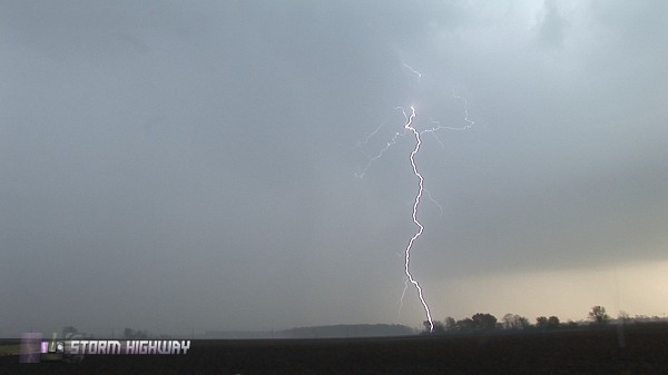
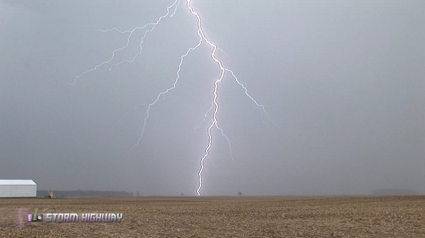
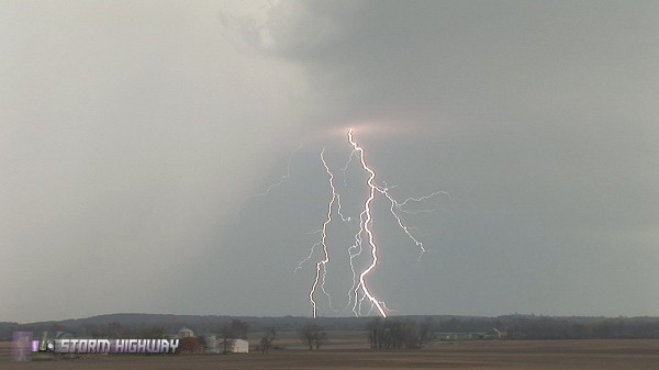
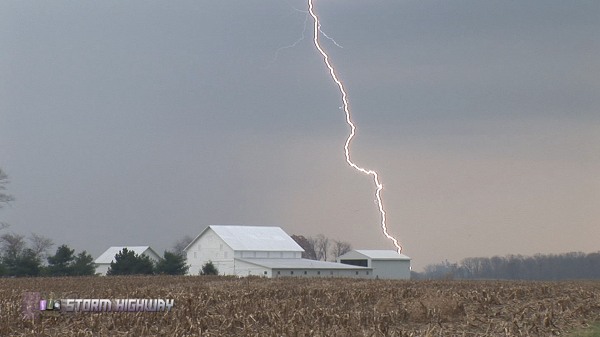
BELOW: Lightning from Dayton to Jackson, Ohio:
GO: Home | Storm Chase Logs | Photography | Extreme Weather Library | Stock Footage | Blog
Featured Weather Library Article:
|


