
|
||||||||||||||||||||||||||||||||||||
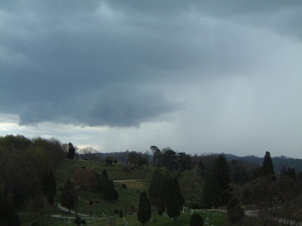
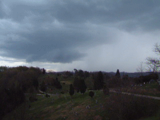
Sunday, April 14, 2002 At 3:00PM, an interesting cell developed just southwest of Charleston and moved over the city. The storm was producing cloud-to-ground lightning at a rate of one flash every 2 minutes, and was interesting to watch as the lightning danced around the visible column of falling rain (see animation at right). Below: The Charleston storm, with falling rain shaft visible on the right, viewed from Spring Hill Cemetery.
Monday Morning, April 15, 2002 National Weather Service forecasts only called for a 40% chance of showers overnight on Sunday. But after a weak thunderstorm cell formed and dissipated a few miles south of town at 11:30PM, I decided to open my bedroom window so that any approaching storms overnight would wake me up. Good move, because just after midnight, flashes and distant booms stirred me from sleep. A quick assessment of the skies from my backyard hilltop vantage point confirmed the situation - a line of big storms had developed to the west and was moving toward Charleston. As I got in the truck to head to a setup spot, NWS weather radio noted that Kanawha County (my location) could expect "'Wake-up' thunderstorms with dangerous cloud-to-ground lightning and small hail, mainly north of Charleston". I headed north on I-77 and eventually made it into the middle of the cells. And cloud-to-ground lightning there was! Tons of it, frequent, powerful and close, one strike hitting several hundred feet to the west of the Interstate with an instantaneous, earsplitting crack. A few pelts of pea-sized hail hit my winshield near Pocatalico. Bright, beautiful lightning strikes everywhere, but all of it in the middle of this heavy downpour of rain. Because of the whiteout of rain, I never was able to set up the camera. Eventually I decided to try catching some of the action with the digital camera as I headed back south. I missed about 10 good strikes, but ended up catching one fairly close CG next to the Interstate near the I-77/I-79 interchange north of Charleston (above right). Soon, the cells were moving on to the northwest but still putting on an anvil crawler show, so I drove north on I-79 to Amma to try to catch up to the line again. But the storms proved too fast for me, and I turned around - making it home around 4:00AM.
Monday, April 15, 2002
GO: Home | Storm Chase Logs | Photography | Extreme Weather Library | Stock Footage | Blog
Featured Weather Library Article:
|
||||||||||||||||||||||||||||||||||||


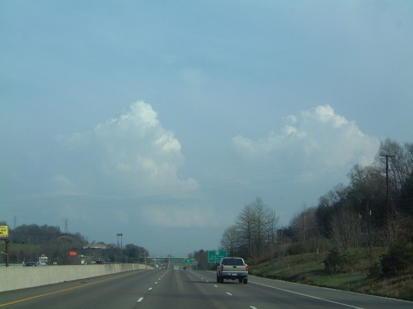
 Small convective cells began developing across southwestern West Virginia in the early afternoon and started moving northeastward across the state.
 At right: A bright cloud-to-ground strike hits just off of Interstate 77 near Edens Fork Road at 2:30AM on Monday morning.


Web Site Design and Internet Marketing by CIS Internet