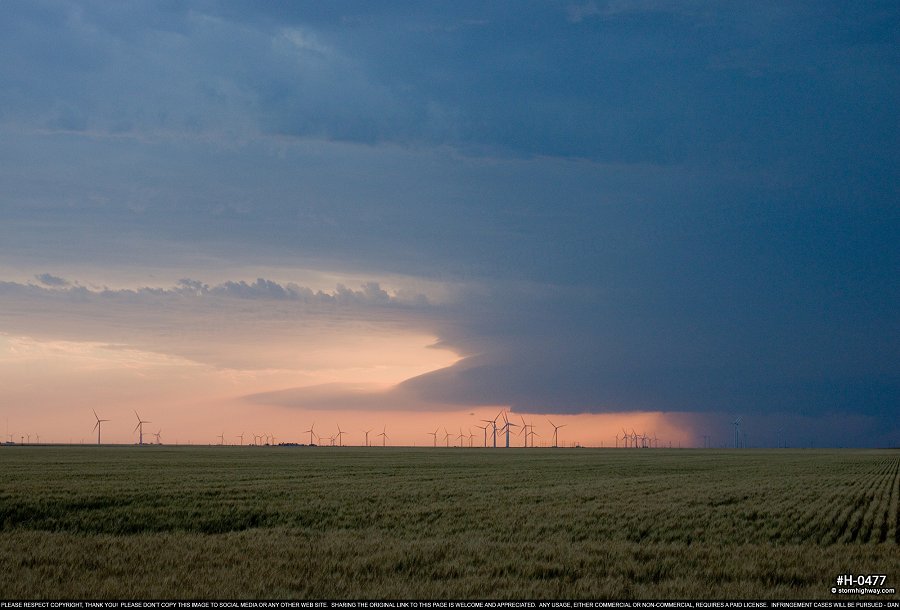
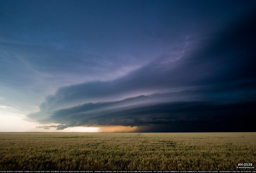
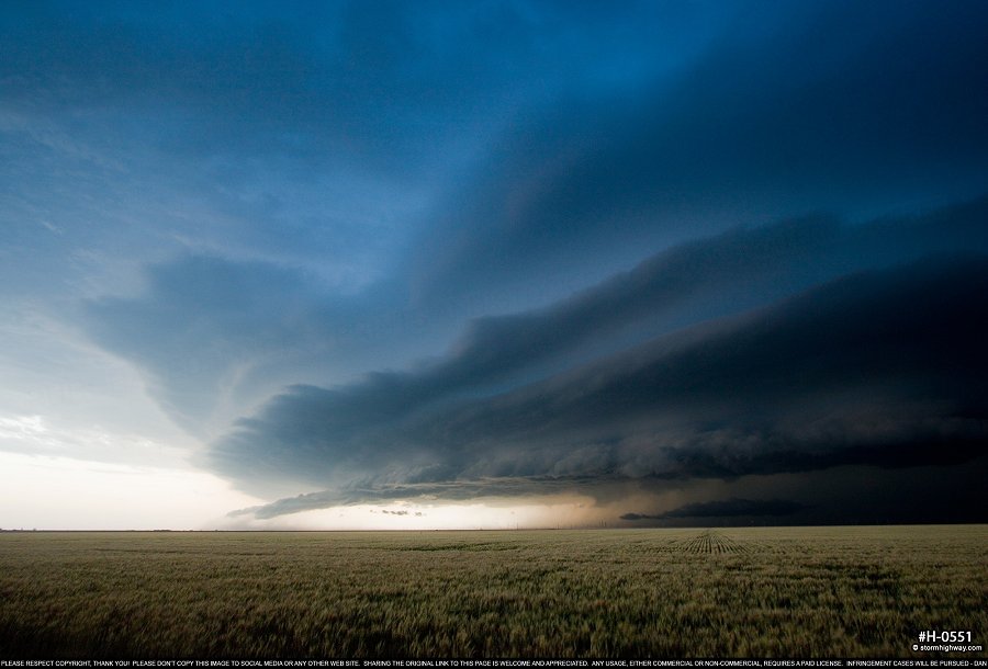
4K VIDEO: Timelapse of severe storms near Perryton, TX PERRYTON, TX - Wednesday, May 30 was the third storm chase day of my third Great Plains trip for 2018, and overall Day 7 since the start of the season. I was able to get a full nights sleep in Enid, thanks to Wednesday's expected target being about 4 hours to the west. The setup was quite marginal for tornadoes, with storms initiating in 50s dewpoints all the way out in eastern New Mexico and Colorado. Rapid upscale growth was expected, with a severe squall line tracking east from the Panhandles through northern Oklahoma after dark. Models also indicated supercell potential with any tail-end storms. Therefore, my plan was to simply meet the incoming storms at sunset to shoot lightning photos as darkness fell, then stay ahead of them across Oklahoma. GPS LOG: May 30, 2018 trip path I left Enid just before noon and slowly made my way west, stopping to check data from time to time. I crossed into Texas and finally got a visual on the incoming storms at Perryton, and set up the video camera for a timelapse. At first, the storms were less than impressive, with only sporadic lightning and very little in the way of structure. Finally, as darkness approached, structure and lightning improved, and the storms began kicking up large amounts of dust and dirt on the leading edge of the outflow.
 click to view full screen
 click to view full screen
 click to view full screen
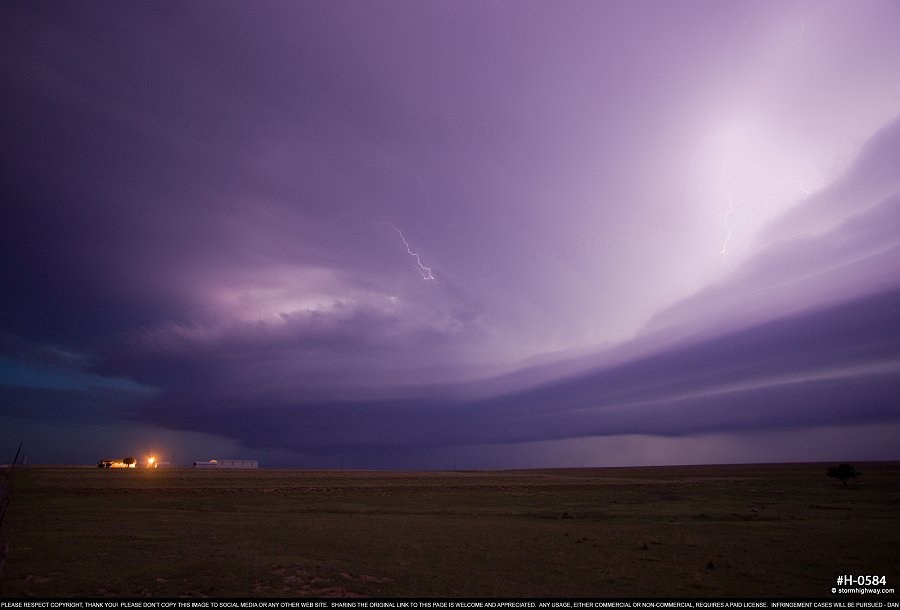
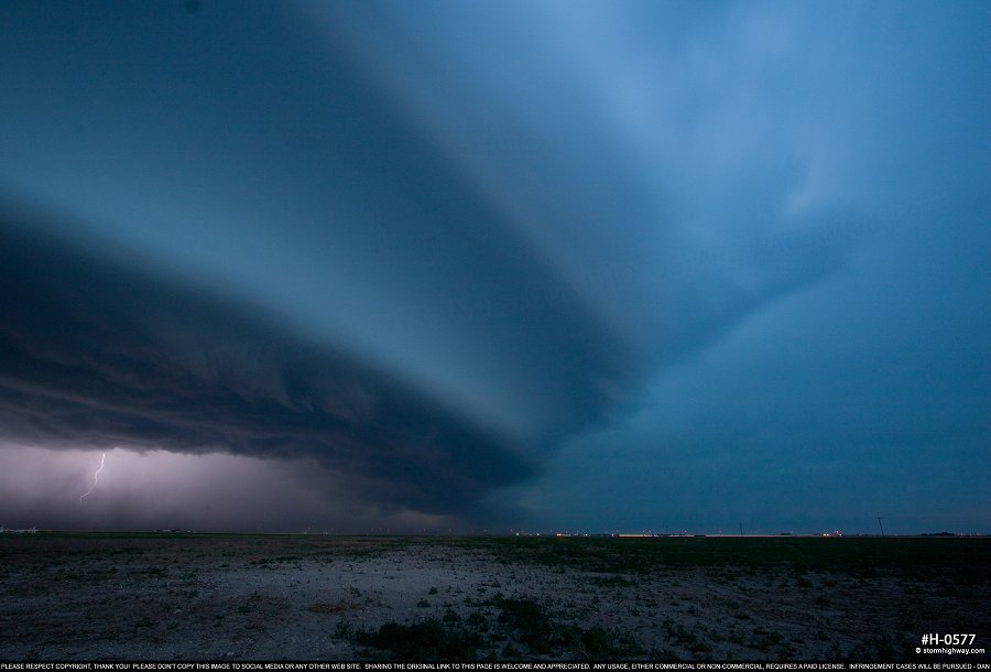 click to view full screen The dust storm briefly caught me as I drove back east through Perryton, but I was able to get back ahead and capture a few more shots near Lipscomb.
 click to view full screen
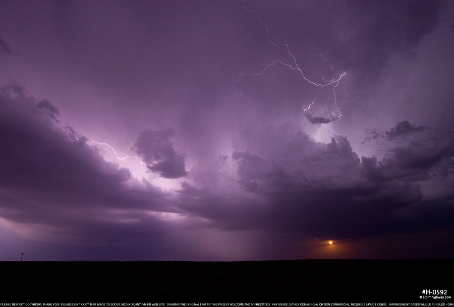
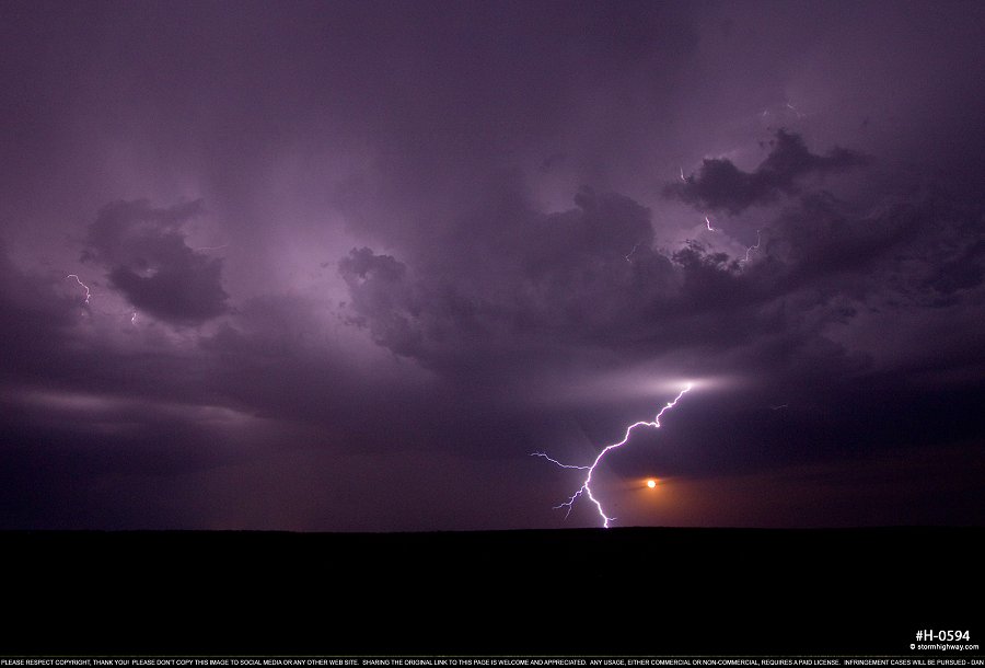
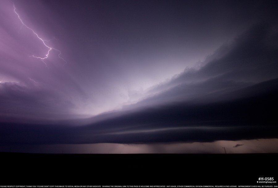 click to view full screen As I neared the state line, a new storm was firing near Arnett, Oklahoma ahead of the squall line, right on my route east on US 60. As I approached the storm, the orange-hued moon began rising on the eastern horizon, shning through the space between the ground and the storm's base. I stopped to shoot a few lightning shots here, capturing one bolt curving around the moon:
 click to view full screen
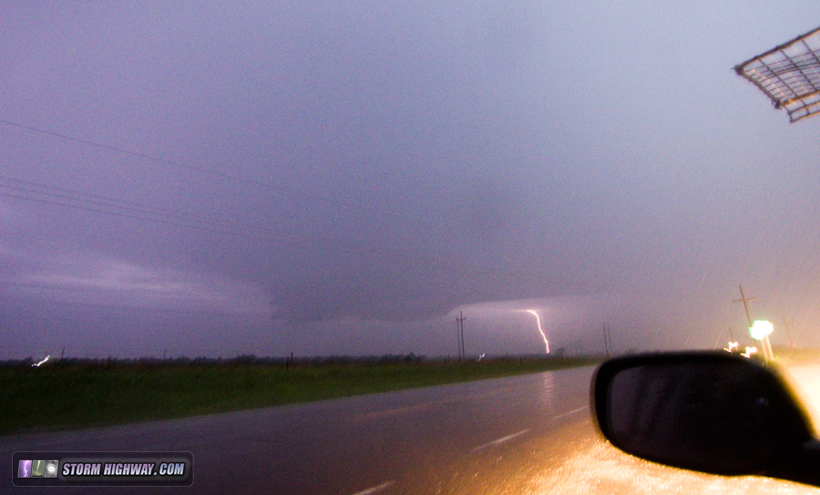
 click to view full screen This new storm seemed to be rooting on a boundary, as it was not moving east as fast as the main squall line. It briefly went supercellular, with a couplet forming on radar just south of the highway. I stopped in between Arnett and Vici, and could faintly make out a wall cloud in the lightning flashes to my southwest - shooting at 3200ISO to get this feature to show up on camera:
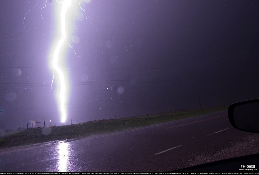
 The wall cloud slowly faded as lightning activity and hail picked up. A close bolt hit in the field to my south, so I switched the camera to 100ISO and F13 anticipating another one. And it happened - just to my south, a bolt hit the powerlines on the intersecting road about 150 yards away. Arcs jumped across all of the insulators on at least 4 sets of poles:
 click to view full screen Knowing I had a long drive to chase in Missouri - possibly back in St. Louis - the next day, I had to break away and resume the trek east or else risk not having time to sleep. I managed to get ahead of the constantly-developing precip at Stillwater, and got to the hotel in Claremore at 3:30AM. NEXT PLAINS CHASE: Day 8: Missouri supercell and close lightning >
GO: Home | Storm Chase Logs | Photography | Extreme Weather Library | Stock Footage | Blog
Featured Weather Library Article:
|
|||||||||||||||||||||
Web Site Design and Internet Marketing by CIS Internet


