|
Home | Blog Index | Blog Archives | Christianity & Faith Essays | Storm Chasing Essays
Mid-November to December 2022 Storms and Weather Roundup
Below-average weather action continued for the lower Midwest into the final weeks of the year.
Mid-November to December 2022 Event List
 November 26: St. Louis region thunderstorms November 26: St. Louis region thunderstorms
I headed into the city to await the arrival of thunderstorms after dark. While data showed random lightning strikes in various locations inside the heavy rain cores moving through the metro, I didn't see any of them.
 November 29: St. Louis weak convection November 29: St. Louis weak convection
As usual, I chose to stay close to home this day for a very marginal severe storm threat at the northern end of this strong system moving through the Midwest and South. The alternative was a drive 9 hours to the greatest tornado risk in the forests of Louisiana and Mississippi after dark. I drove over to Missouri to await the development of a tail-end storm along the cold front that short-term models had hinted at. This storm did develop, but much farther north and in a location too inconvenient to reach (north of Alton, IL) than I was willing to try and intercept at rush hour.
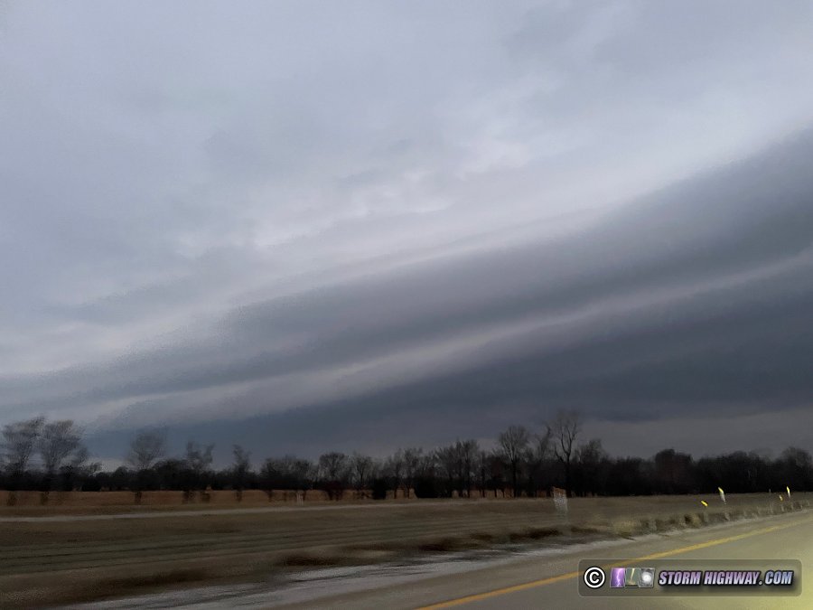
 December 21-23: Oklahoma/Arkansas winter storm trip December 21-23: Oklahoma/Arkansas winter storm trip
Even though the artic front and associated winter storm would be bringing snow to St. Louis, I felt like an area of freezing rain behind the front in eastern Oklahoma would bring significantly higher impacts. I left on Wednesday night, and after a short overnight stay in Henryetta, OK I was back on the road at dawn. The arctic front arrived just after sunrise with a sharply-defined arcus:
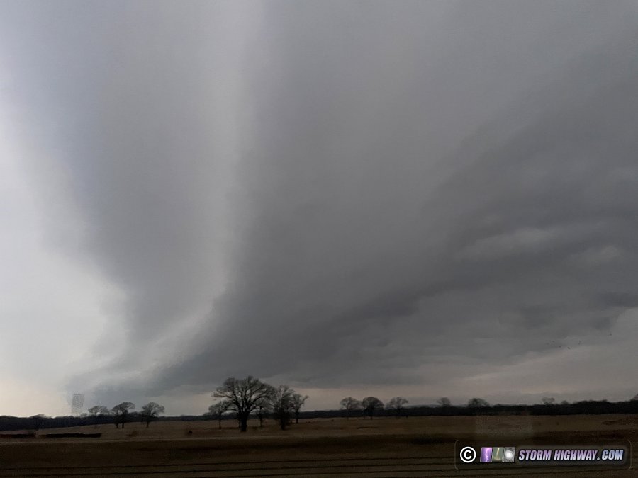
About 30 miles behind the front, freezing rain quickly iced the roads as temperatures dropped into the upper 20s. I captured this footage on Interstate 40 at at Webbers Falls:
I stayed behind the cold front until Little Rock, Arkansas, but the worst impacts remained back to the west in Oklahoma. I decided to make my way back home via Jonesboro to I-55 at Blytheville, a long, slow drive with copious blowing snow. I arrived home at 2AM.
 December 24: Columbus, Ohio icy roads December 24: Columbus, Ohio icy roads
I left home on Friday night the 23rd with a plan to document road scenes between Indianapolis and Columbus, Ohio. I arrived in Columbus after sunrise to find the roads still in a relatively untreated state metro-area-wide. I stopped in Pickerington for 2 hours to shoot the following video:
< September-November 14, 2022 Recap | All Storm Chase Logs | January-February 2023 Recap >
GO: Home | Storm Chase Logs | Photography | Extreme Weather Library | Stock Footage | Blog
Featured Weather Library Article:
|


