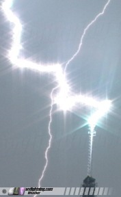 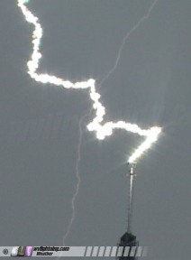 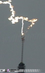
Lightning repeatedly strikes television tower: Detailed close-up video obtained of lightning strokes: June 14, 2005
EXPEDITION VIDEO: Lightning strikes WVAH tower repeatedly, WMV 2.6MB
ST. ALBANS, WV - Storms moved through much of the Ohio Valley and northeastern USA on Tuesday, June 14. Activity moved through West Virginia during the late afternoon, bringing heavy rain, gusty winds and lightning. During the storms, the WVAH television tower near St. Albans was hit several times by lightning in a short period of time. Extreme close-up video images were obtained of these strikes. The following is a log of the day's chase. Photos may be enlarged by clicking on the thumbnail image.
Even though this event occurred in West Virginia after I returned from the Great Plains, I'm grouping it in with the rest of the 2005 Storm Chasing Expedition logs. Specifically, I hadn't actually been back to my house yet before covering these storms, and the synoptic weather system responsible for this event was the same one that had given me consecutive storm chase days in Missouri and Texas on the 12th and 13th.
I began the day at 5AM in Evansville, Indiana on a very short night's sleep, and was back on I-64 eastbound toward a 10AM work meeting in St. Albans, WV. I made the meeting on time, which lasted less than an hour. Exhausted from a two-day marathon drive from north Texas (which started Sunday night with only a few total hours of sleep across both days) I stopped at my Grandmother's house in Dunbar after the meeting. I didn't want to go all the way to my house in Charleston, since there was a Moderate Risk for severe storms just to the north and west - and I'd likely be heading west again before the day was done. I took a much-needed nap there for a few hours, then awoke by mid-afternoon to turn my attention to the weather once again.
A line of strong storms was arriving in Huntington, with numerous severe warnings and a radar-indicated tornado warning in Lawrence County, Ohio just to the northwest of there. I was pessimistic about any type of chase potential with this line, furthermore it appeared to be weakening as it crossed the state line. Since I expected there would at least be decent stratiform region lightning activity, I decided to use the storms to continue an ongoing project of mine to document lightning strokes to towers at close range. I headed to the WVAH tower site on Coal Mountain near St. Albans and set up two video cameras a few hundred yards north of the tower on Poplar Fork Road. One camera was equipped with a wide-angle lens, and the second one was zoomed in tight on the tip of the tower's antenna.
The storms arrived at the same time I did, but I was set up in time to catch three direct strikes to the tower. The strikes occurred less than one minute apart from each other. The cameras did an excellent job of catching these discharges in extreme and vivid detail:
Video captures:
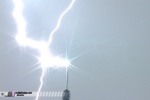 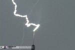 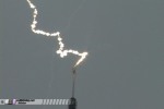 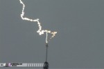 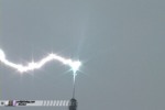 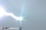 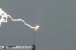 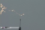
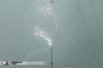 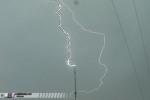 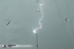
After analyzing the video from this event, I was able to make several observations of small-scale features:
- The lightning channels drifted significantly with the wind as they discharged, requiring subsequent return strokes to propogate new leaders down to the tower in a sort of 'oxbow effect'. This process is similar to an 'oxbow lake' formation, where a river bypasses a section of its channel to follow a more direct path. You can see the new channels stretching vertically from the tower tip up a few feet to join the old channel, while the old 'oxbow' channels continue drifting away with the wind.
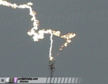
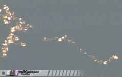
- Significant 'beading' of the decaying lightning channels are visible:
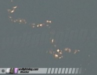 
- Glowing shards of molten metal arc-welded off of the tower can be seen falling through the air after the strikes:
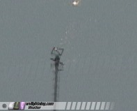 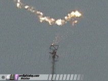
On the third strike, several of these molten metal shards remain luminous as they drift all the way off of the right side of the video frame.
- Upward-propagating leaders are visible prior to all of the strikes on the wide-angle versions of the video.
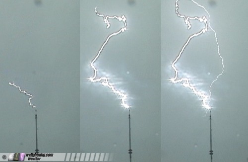
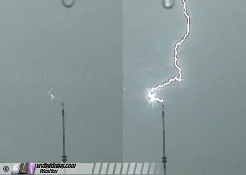
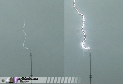
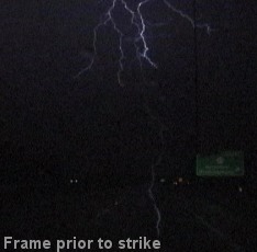
These features can be differentiated from false 'ghost channel' artifacts common on lightning video. Video is prone to 'ghosting' of the lightning channel on the frame preceding the stroke, but the 'ghost channel' is always shifted downward on the video frame, making the channel appear to be a 'leader' propagating upward very close to the observer, such as in this example from another video:
 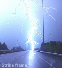
The 'ghost artifact' is very apparent in this next example frame from another video, where a false 'ghost leader' appears to be striking me in the back!
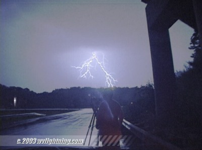
In the above tower lightning clips, the leaders are in the exact same position and shape as the full stroke on the next video frame, eliminating the possibility of these features being video ghosting artifacts. [ More on video ghosting of lightning ]
- Another item of note is two small-scale features on the last return stroke of the second flash. One is a small horizontal leader jutting out from the antenna tip, the second is a downward-reaching branch connected to the main channel.
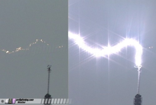
Contrast-enhancing allows these features to be seen more clearly:
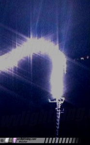
Again, it is not apparent that this is a video ghosting artifact.
Back to Storm Chasing Expedition 2005 Index
GO: Home | Storm Chase Logs | Photography | Extreme Weather Library | Stock Footage | Blog
Featured Weather Library Article:
|