All photos, video and text © 2004 by Storm Highway. Unauthorized use prohibited - see site copyright statement
Surprise supercell in northeastern Oklahoma: Storm produces intense lightning, funnel, possible tornado: May 23, 2004
EXPEDITION VIDEO: Frequent CG lightning near Bristow, OK
|
My work is, at this very moment you are reading this, generating the most income it ever has in my career. Yet, I was forced to shut down the professional side of my successul operation, against my will, due to one cause alone: 95% of that revenue is being stolen by piracy and copyright infringement. I've lost more than $1 million to copyright infringement in the last 15 years, and it's finally brought an end to my professional storm chasing operation. Do not be misled by the lies of infringers, anti-copyright activists and organized piracy cartels. This page is a detailed, evidenced account of my battle I had to undertake to just barely stay in business, and eventually could not overcome. It's a problem faced by all of my colleagues and most other creators in the field. |
BRISTOW, OK - An unexpected supercell developed in northeastern Oklahoma on May 23, producing a possible tornado near Bristow. The following is a journal of the day's chase. Times (CDT) are approximate. Photos can be enlarged by clicking on each thumbnail image.
After a string of long storm chase days ending with the tiring drive in Nebraska and Kansas on May 22, we were looking forward to a day off to relax and enjoy grilled steaks at Dave Crowley's place on a quiet Tulsa evening. Pete, Fabian and Damon were in Topeka after having to turn back for fuel the previous day, and were therefore in position to pursue the only forecast severe weather in Illinois and eastern Missouri. As for the rest of us, a drive that far from Tulsa would be impossible, especially after a marathon of all-day drives - so we didn't consider trying it.
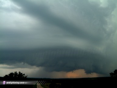
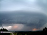
But by late afternoon, we checked radar and noticed an outflow boundary near the Arkansas border cruising northwestward. A weak stationary front was situated to our north, and we felt that these two intersecting boundaries might fire storms and possibly supercells. Eventually, a storm did go up near Oklahoma City and looked like it was organizing - so we (Dave Crowley, Justin Teague and I) put the steaks on hold and headed out in Dave's Tahoe. By the time we got on the highway, more cells were firing along I-44, giving us several to choose from. We picked a well-organized cell near Bristow, found a nice hill with a view north of I-44 to watch the show for the next 30 minutes. The spectacular 'mothership' structure was spinning like a top. The cell had a classic appearance, with smooth inflow bands curving in to a striated updraft:
Digital photo:
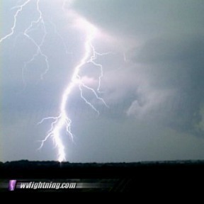
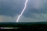
Cloud-to-ground lightning activity was frequent and intense, and a wall cloud eventually condensed downward. Due to most of the bolts having numerous repeat return strokes, I was able to capture several still shots of lightning manually on my digital camera by reacting to the first return stroke of each flash:
Digital photos:
 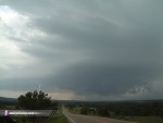 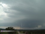 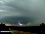
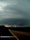
I captured some of my all-time best daylight lightning video from this storm, with brilliant, pulsing CGs striking in and around the wall cloud ( RealVideo clip, 801KB ):
Video captures:
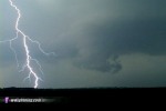 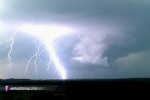 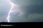 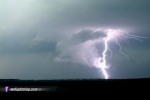
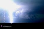 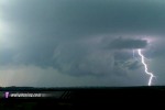 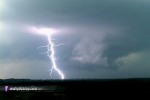 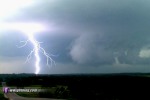
At one point, rapid motion in the wall cloud increased and an apparent tornado or funnel emerged from the wrapping rain curtains:
Video captures:
 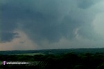 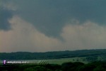
While the video is somewhat convincing, we weren't certain enough of this feature to count it as a tornado. Future damage surveys may change our conclusions, however.
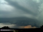
After the brief funnel sighting, the photogenic storm began accelerating eastward toward us:
Digital photos:
We hung around the storm for the next 30 minutes but didn't see any other interesting developments. The sun was falling below the horizon and the storms weakening, so we headed back. It would be a long drive to Missouri the next day for another high risk and possible tornado outbreak. The steak cookout would have to wait...
NEXT EVENT: Missed tornado chances in Kansas and Missouri on May 24
GO: Home | Storm Chase Logs | Photography | Extreme Weather Library | Stock Footage | Blog
Featured Weather Library Article:
|