I had originally been planning to leave for my third Great Plains chase expedition of the year on May 17th, with the first chase day on the 18th. But after models continually made the 17th look more interesting, I moved my departure up by one day in order to chase this impending event in northwestern Kansas and southwest Nebraska. This turned out to be a good decision, as this ended up being my best chase day of the year. I left St. Louis late in the afternoon on the 16th, staying in Wilson, Kansas for the night. The morning of the 17th, I awoke and made the rest of the drive to the target at Goodland. I started on a new storm that developed just north of Goodland, intercepting it at Atwood. I stair-stepped on the road grid northeast with it across the border into Nebraska. At one point, one of these stairsteps necessitated driving through the storm's core, with windblown 2-inch hail that prompted the lowering of my second-stage hail guards. I stopped briefly to grab some nice video on the high-speed camera of this scene at 1,500 frames per second:
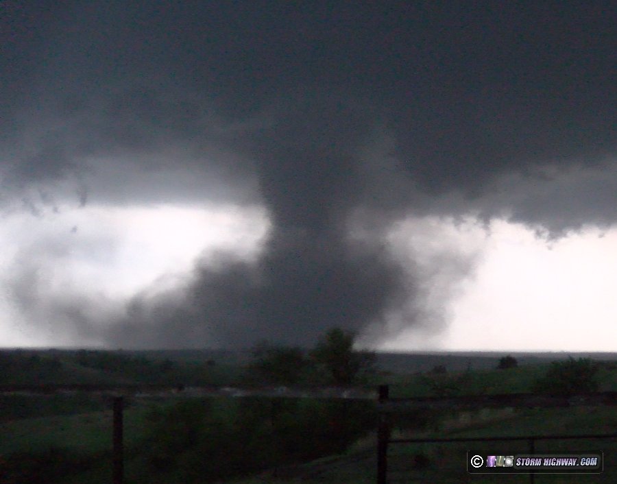
I got out of the precip on the west side of McCook, where a large and powerful RFD surge began barreling into the storm's updraft region. This kicked up huge walls of dirt as a tight area of rotation at cloud base began just to my west. A tornado appeared imminent, but I was having trouble with visibility as the RFD dirt was obscuring many of the storm features as it caught up to me.
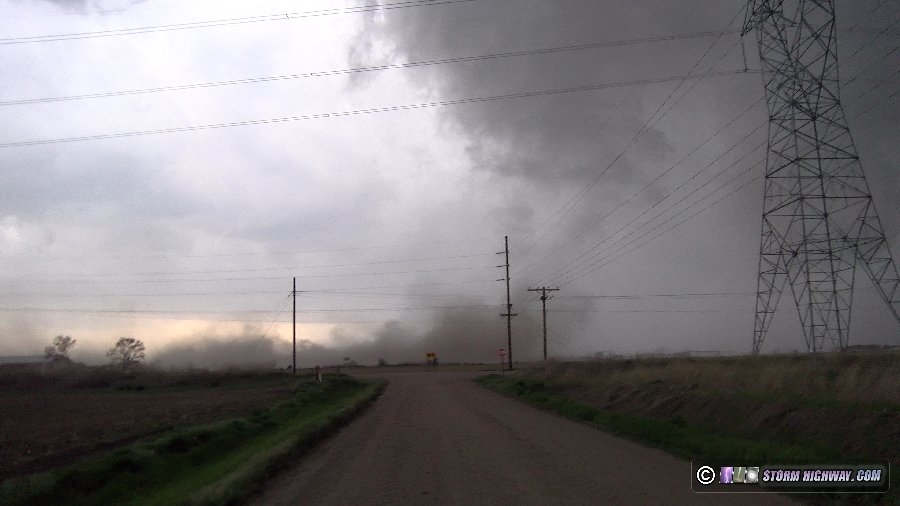
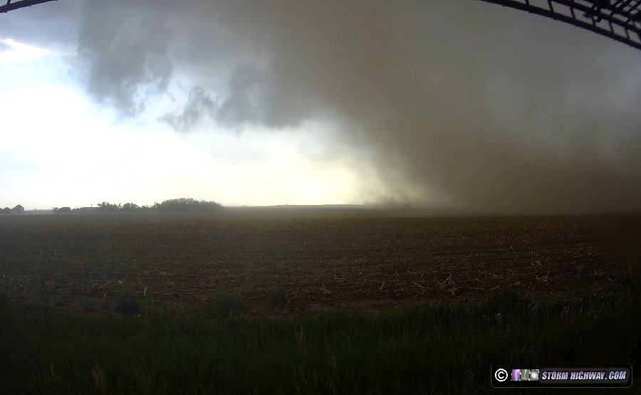 I moved east to stay ahead of the RFD's dust storm. After only a couple of minutes, the tornado appeared about 2 miles to the north, with its debris cloud connected with the RFD-lofted dirt to its south:
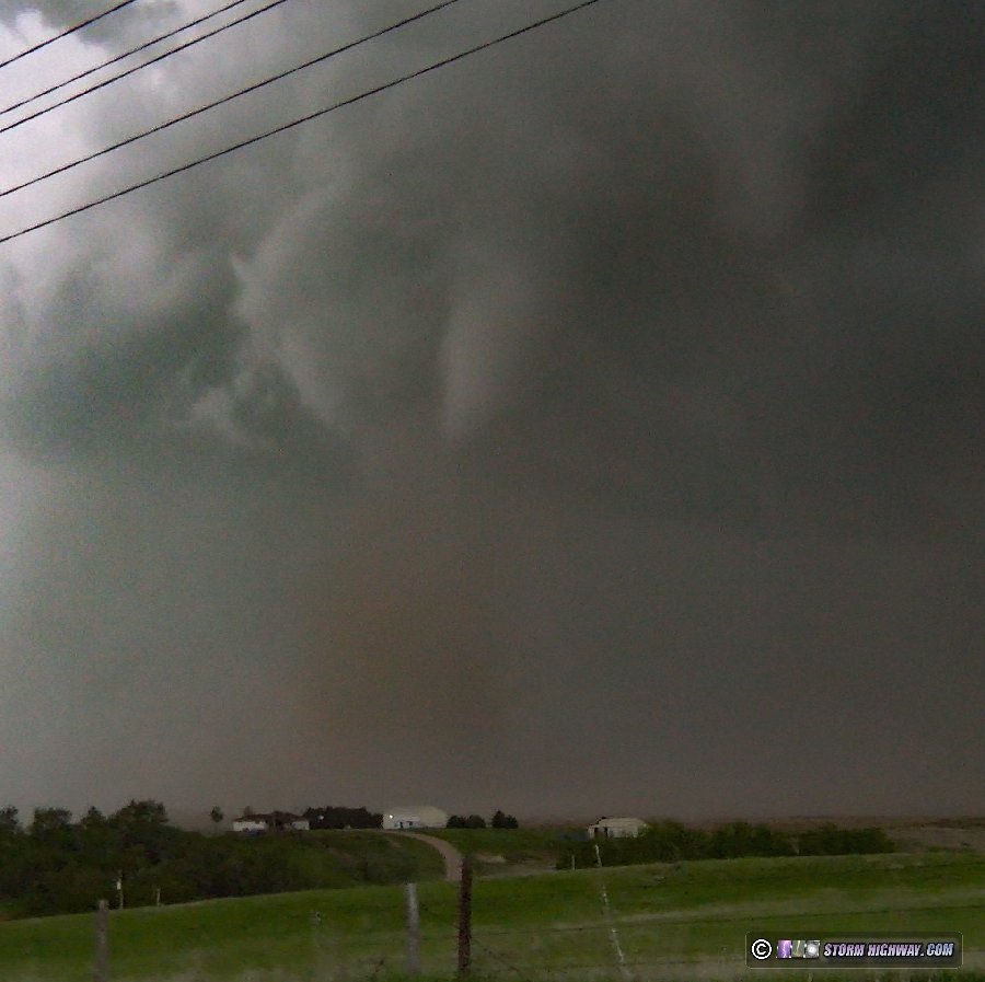
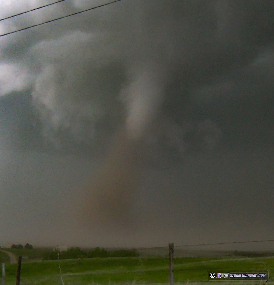 I had to keep moving east to maintain visibility of the tornado as the RFD-lofted dirt threatened to completely block my view. It turns out that being more distant was the better position here, as many chasers outside of the RFD's lofted dust storm had great high-contrast views of this tornado.
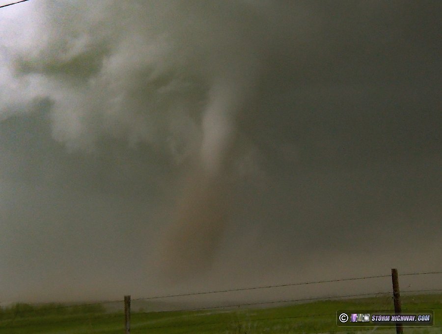
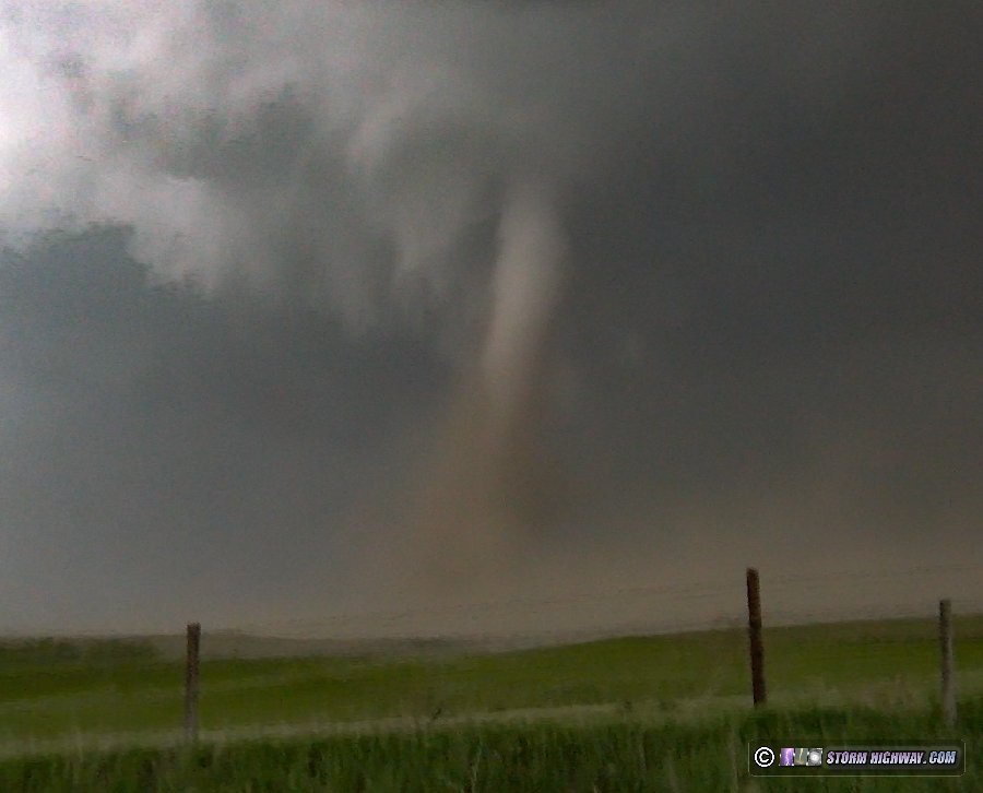
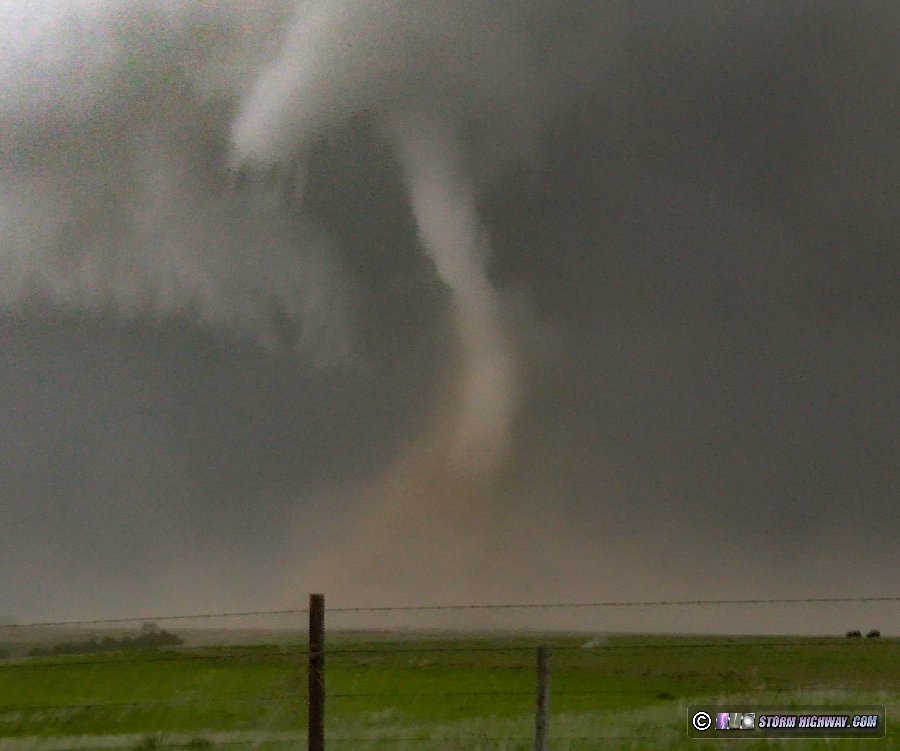 As I approached Highway 83, the tornado began roping out:
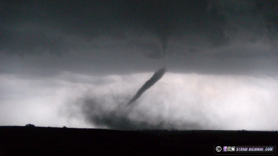
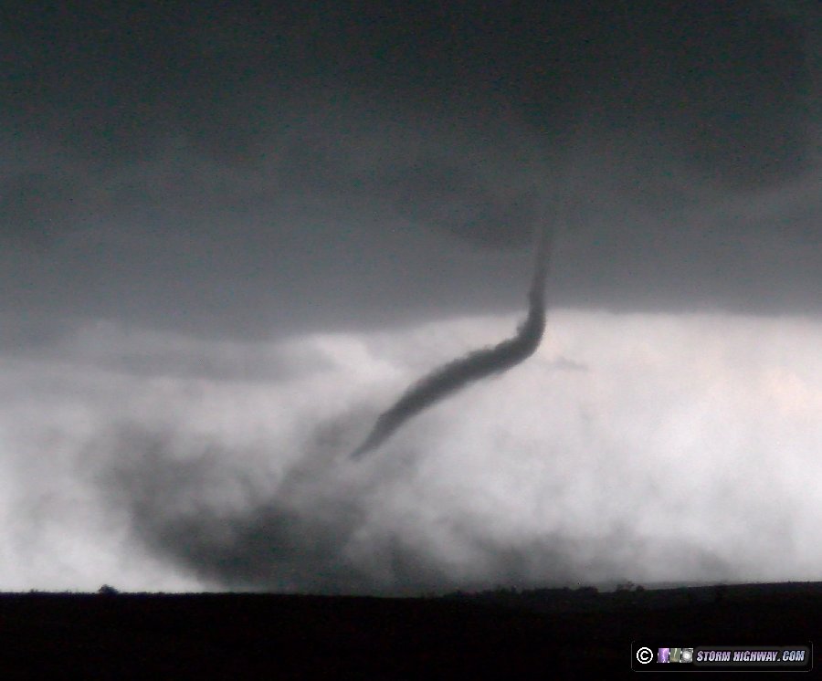
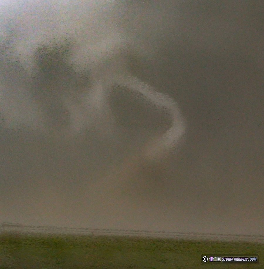 The next north-east road stairstep I'd need to take to stay with the storm meant a second transect through the core. When I emerged from the rain eastbound on Highway 23 near Farnham, a new tornado was already in progress about 4 miles to my south:
 My goal on this trip was to get a high-speed shot of lightning with a tornado, so instead of focusing on video and stills here, I dedicated my efforts to shooting this with the high speed camera, balancing the video camera simultanously on the door frame. This made my video of this scene suffer. No lightning occurred with this tornado, so my high-speed shot didn't happen. The tornado put on quite a nice show as it slowly moved north closer to me. While I'm happy with the dramatic backlit view I had here, the view from the south was better with a high-contrast white funnel and black debris cloud.
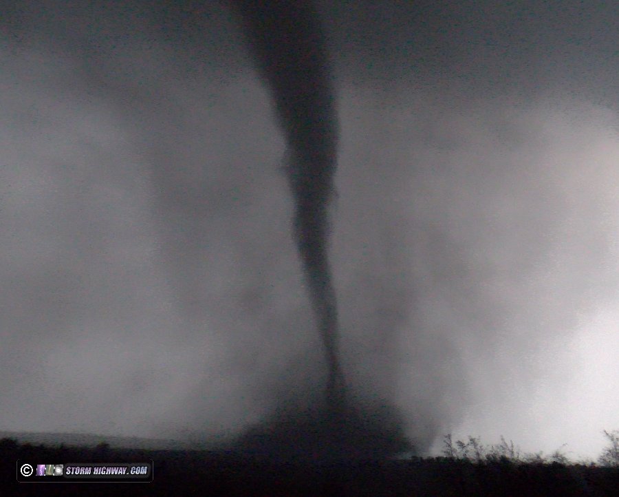
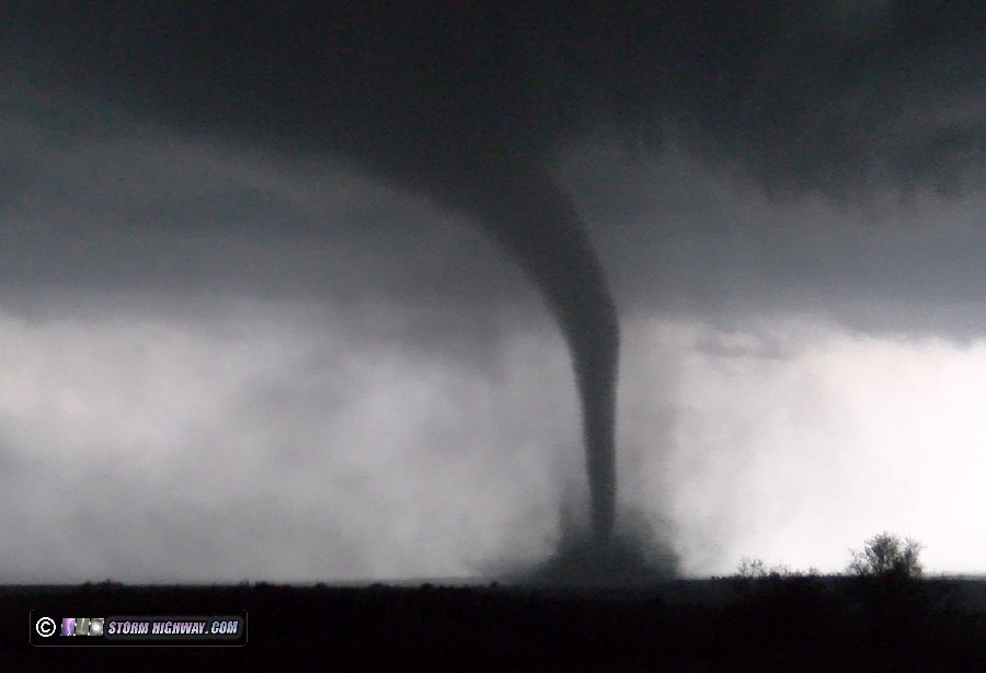
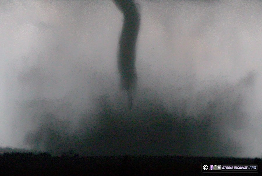 The tornado roped out less than 2 miles to my south.
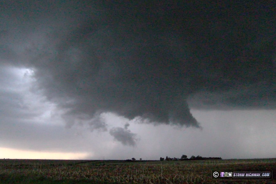
 After the tornado dissipated, I moved east then north on Highway 47 where the new meso was quickly intensifying. A rapidly spinning wall cloud was in progress:
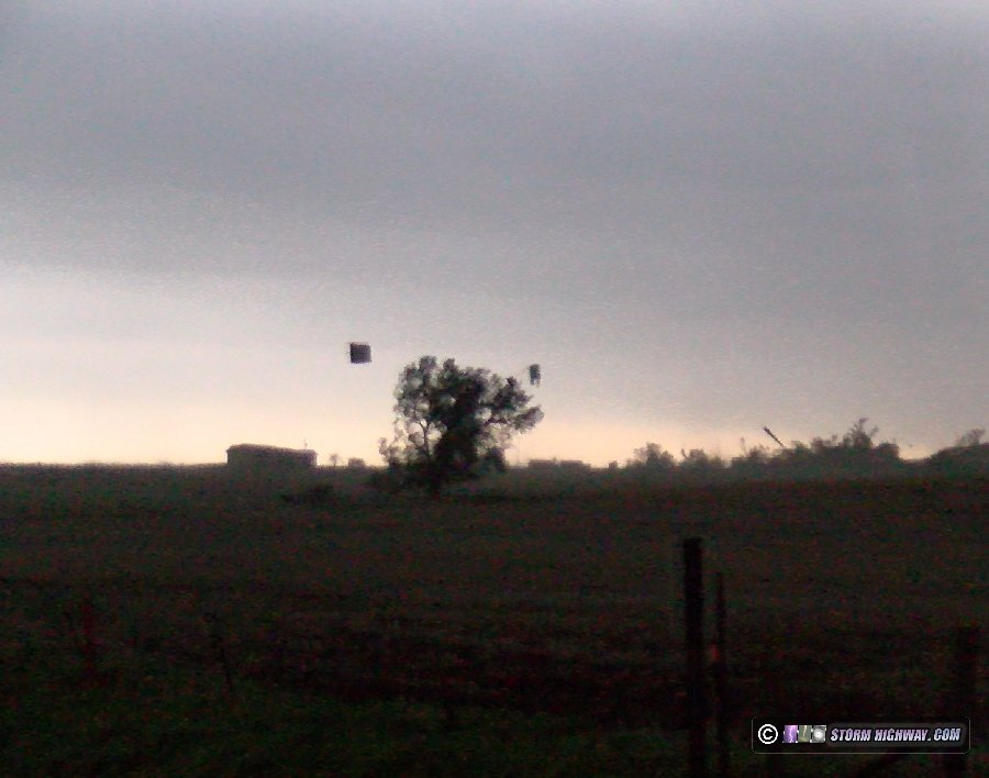
 It wasn't long before the dirt whirls of the third tornado of the day appeared underneath of the wall cloud. I stayed just ahead of this on Highway 47. The tornado struck some barns/outbuildings about a half-mile to my southwest, sending roofs and debris flying:
 The tornado crossed the highway less than a half-mile to my south, moving north-northeast. I didn't have any roads available to stay with it eastward, so I had to just watch it move on from Highway 47. A truncated cone funnel appearad above the debris cloud:
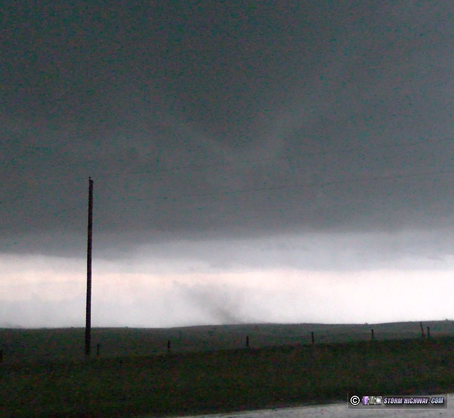 My only option now was to get up to I-80 and then move east to try and re-intercept the tornado along the interstate. However, once again, this meant going into the heavy precip core of the storm. After getting on I-80 eastbound, slow trucks going 35mph in the heavy rain in both lanes meant that there was no way I'd make it. When I finally emerged from the rain at Cozad, the tornado was already long gone. I also did not see any signs of a new meso cycle, and with darkness falling, decided to call the chase. With the next day's target looking to be way down Oklahoma, I decided to start the long drive south with the intention of getting a hotel somewhere along I-70 for the night. However, everything was booked, and I had to drive all the way to Dodge City to get a room. On the way, I passed through several thunderstorms, stopping for some high-speed lightning attempts a few times (and capturing nothing of note). I ended the day at 2AM in Dodge City. Video from my A-camera and dashcams:
GO: Home | Storm Chase Logs | Photography | Extreme Weather Library | Stock Footage | Blog
Featured Weather Library Article:
|
||||||||||||||||||||||
Web Site Design and Internet Marketing by CIS Internet


