|
Home | Blog Index | Blog Archives | Christianity & Faith Essays | Storm Chasing Essays
Second half of July 2021 storm chasing roundup
Here's a short blog post covering a couple of local events during the second half of July 2021.
 July 25: Daybreak storms in the STL metro July 25: Daybreak storms in the STL metro
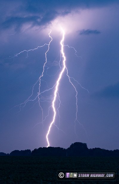
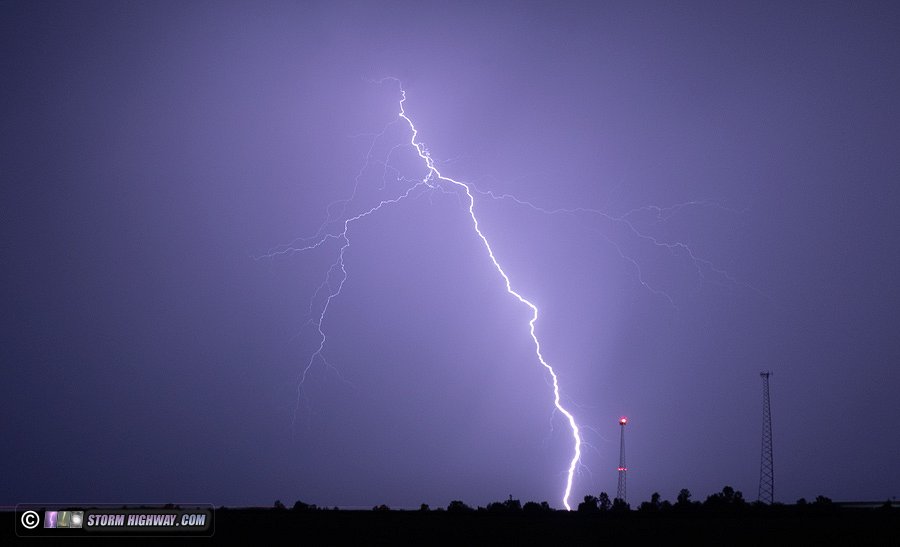
Models had been insistent on overnight storms to our north dissipating well before reaching the I-70 corridor at daybreak Sunday. Instead, the storms defied expectations and persisted all the way through the St. Louis metro area. Lightning activity was above-average, but mostly embedded deep in the heavy rain cores of these slow-moving storms. These two captures were just north of Trenton, IL in the morning twilight.
July 29: Overnight storms in the STL Metro-East
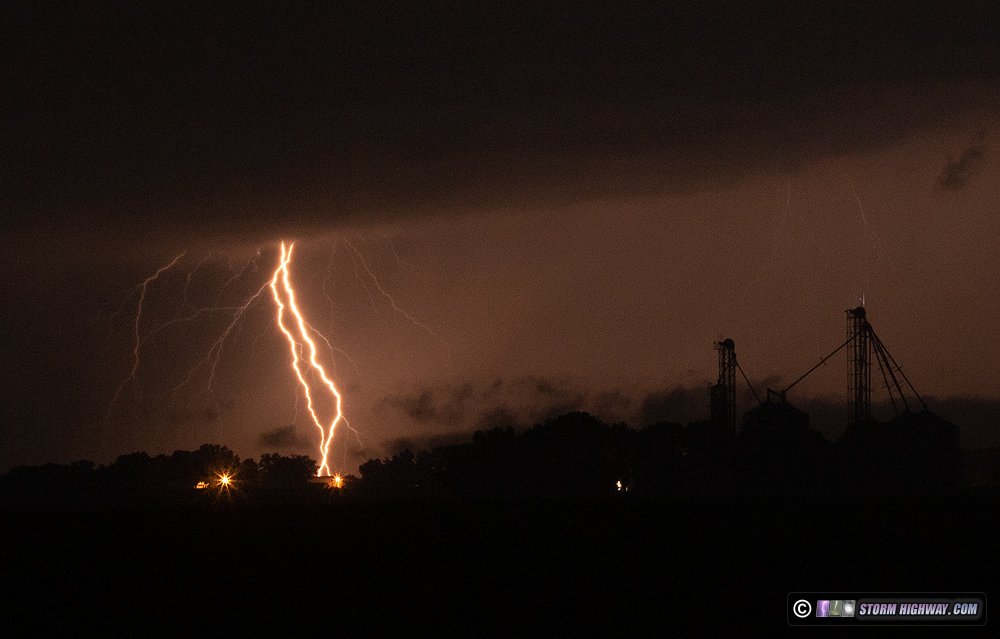
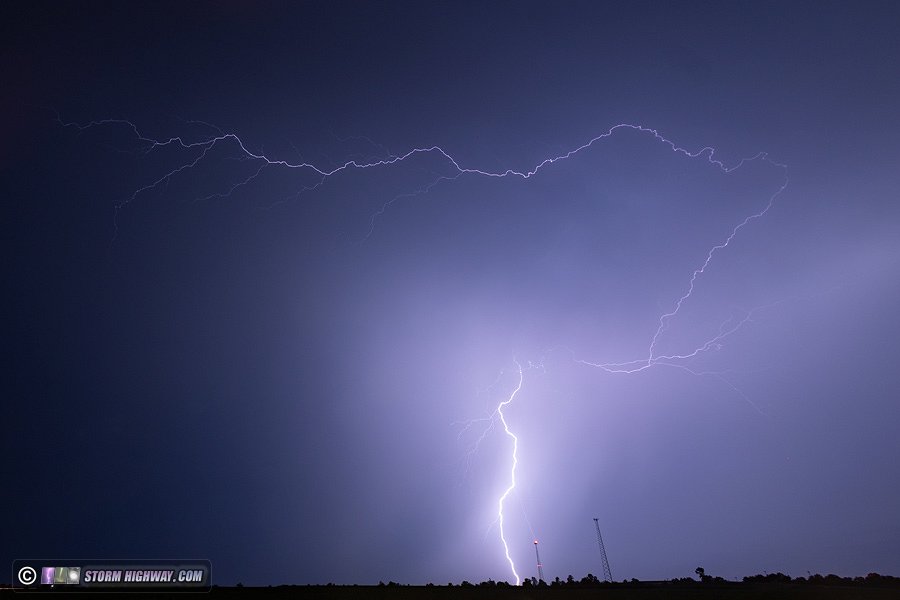
Once again, storms overperform from model expectations. Lightning-active cells fired just south of the I-72 corridor before sunset, and maintained intensity through the St. Louis metro after midnight. I started northwest of Greenfield, IL as new storms produced bolts-from-the-blue, but trees, hills and tall corn prevented me from finding a clear view before this activity ceased. I dropped south to Edwardsville to await storms across the river to the west after dark. A briefly-supercellular updraft went up ahead of this activity at Alton, producing lots of high-altitude intracloud discharges above some interesting low-level structure.
I moved back home to New Baden to shoot a part of the complex where convection and CG lightning activity was more frequent. Aside from a few uncooperative rougue bolts-from-the-blue ahead of the line, the front part of the storms offered little of photogenic value. So, I decided to go home, let the storms pass overhead and hope for better visible lightning on their back side. While this happened, two very close strikes hit within a tenth of a mile, the second one knocking out power to the neighborhood. My dashcams captured these:
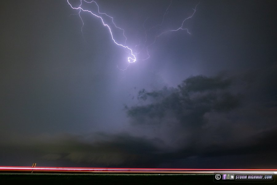
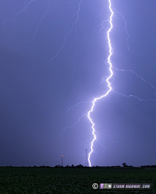
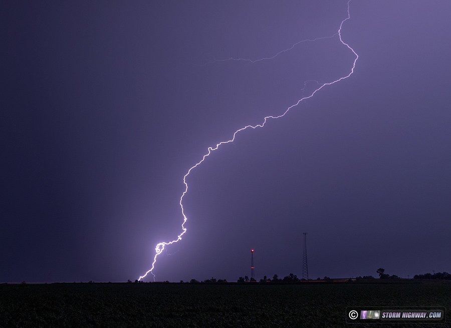
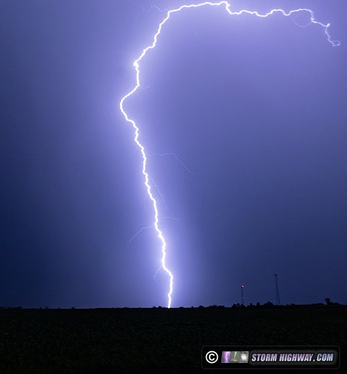
As usual, the lightning on the back side/stratiform precip region of the storms was better and more cooperative. I captured a few good bolts on stills and on 6,000 FPS high-speed video less than a half mile from home.
< June 12 - July 14, 2021 Recap | All Storm Chase Logs | August 2021 Recap >
GO: Home | Storm Chase Logs | Photography | Extreme Weather Library | Stock Footage | Blog
Featured Weather Library Article:
|


